Postcard Pilot: Real Cities
Photograph real cities from the air.
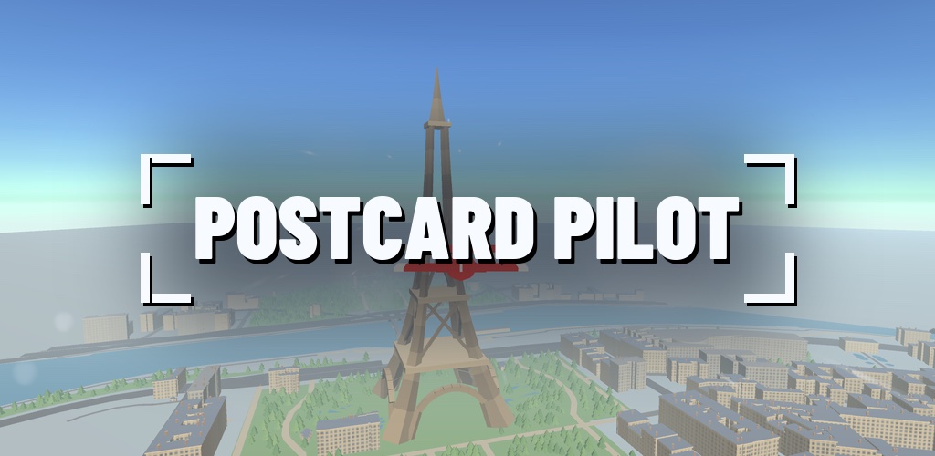
Fly a camera plane over Paris, Istanbul, Liberty Island and Pisa, built from real OpenStreetMap data, and bring each landmark home as a postcard.
Screenshots
About Postcard Pilot: Real Cities
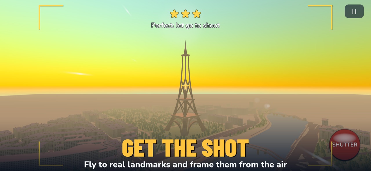
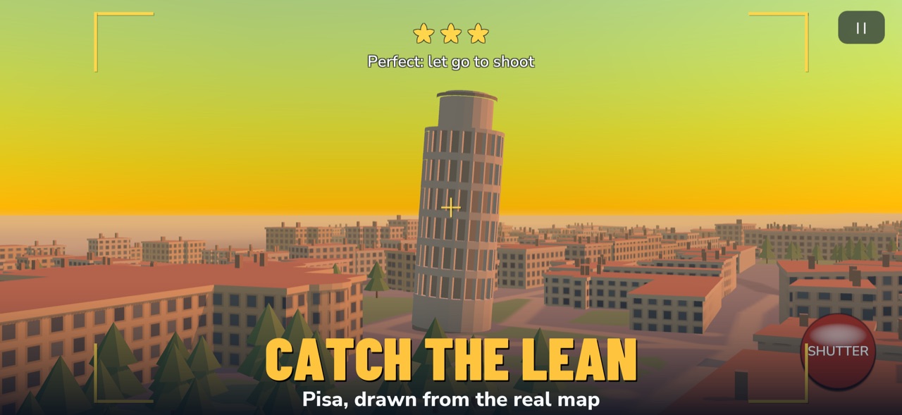
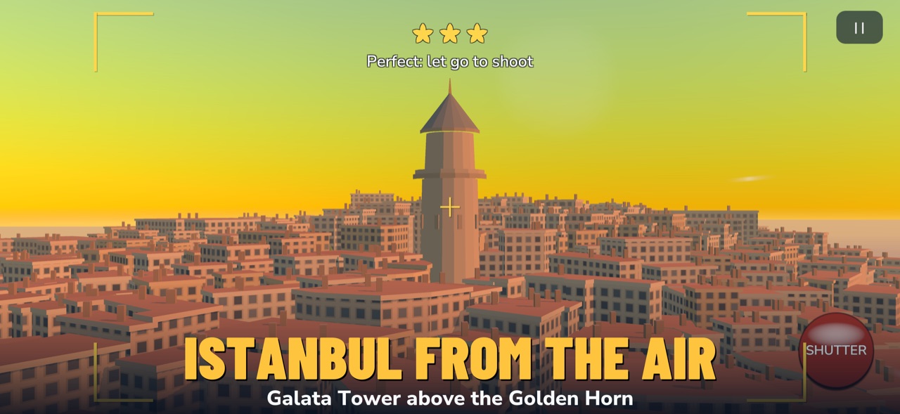
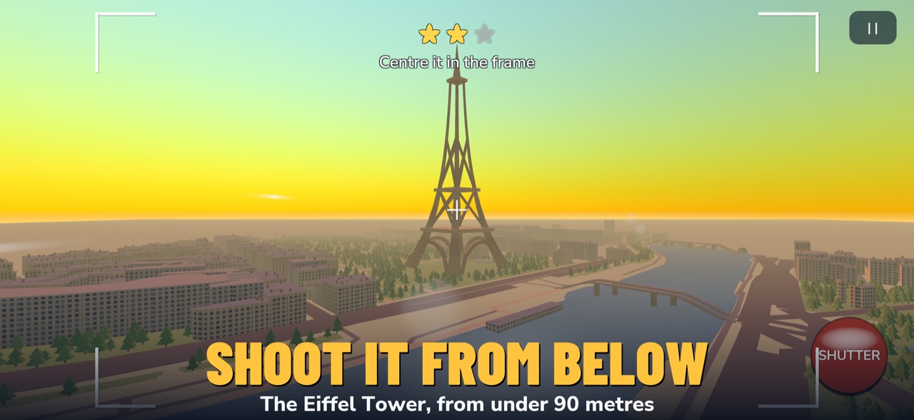
Each commission names a real landmark: the Eiffel Tower from the Seine, Galata Tower from the Golden Horn, the Leaning Tower side-on so the lean shows. Hold the shutter: the plane steadies, the view swings into the camera and the viewfinder tells you what is missing. Let go to take the picture.
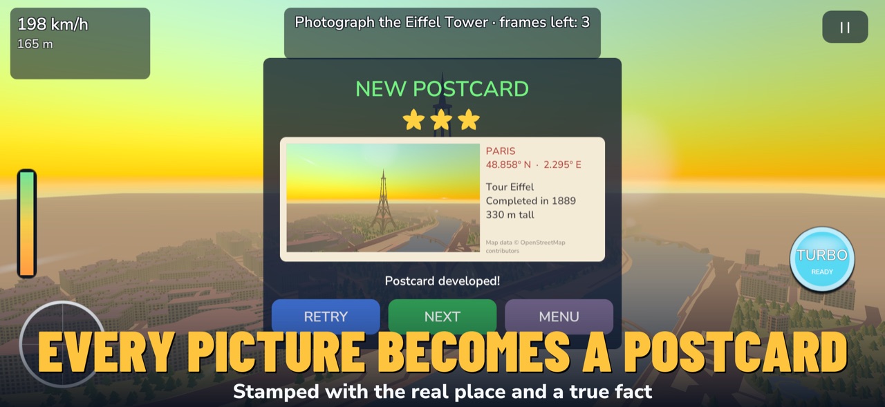
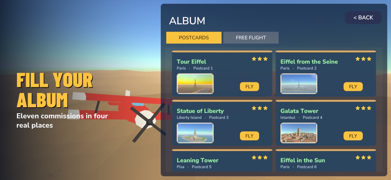
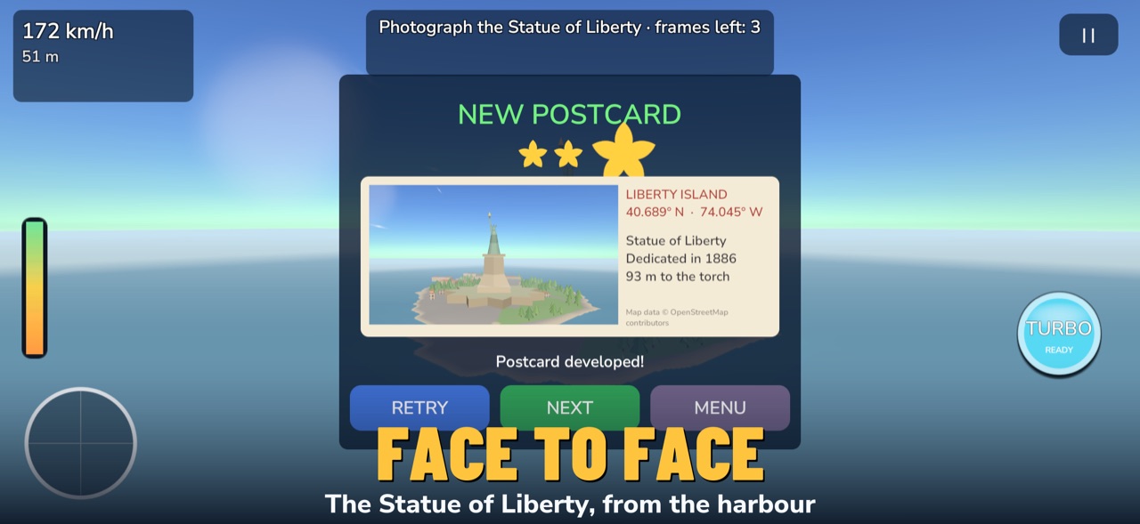
Every picture becomes a postcard, stamped with the place, its real coordinates and a true fact, and the best one for each commission goes into your album. No ads, no account, no in-app purchases; plays offline. Map data © OpenStreetMap contributors. Landmark names are used for identification only; not affiliated with or endorsed by their owners.
Real cities
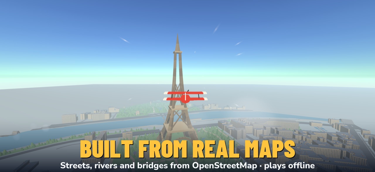
Fly above Paris and its Eiffel Tower, Istanbul and the Galata Tower, Lower Manhattan and the Statue of Liberty, and the Leaning Tower of Pisa. Streets, rivers, bridges and buildings follow the real map, generated from OpenStreetMap data.
More places to fly
Sunny deserts and canyons, forests, snowy mountains, frozen lakes, lava fields, tropical islands and stormy seas. Weather changes every flight: sun, clouds, rain, storms, snow, sandstorms and night.
Dozens of missions
Checkpoint races, canyon runs, time attacks, dogfights, survival waves, boss battles, fuel runs, cargo deliveries and escorts. Earn up to three stars on every mission.
Collect and upgrade your planes
Unlock different planes, each with its own speed, handling and armor. Spend what you earn in the air on upgrades in the hangar.
Easy to play
Touch or tilt controls, a turbo boost that is a real risk-and-reward choice, and Free Flight mode when you just want to enjoy the view. Daily rewards and a weekly goal keep you flying.
Map data © OpenStreetMap contributors (Open Database License).